Follow the road
Plan the route, see the distance and pick the next stop before you leave.
 Back to the map

The app
Campgrounds, water, fuel, borders and the weather. In your pocket, even with no signal.
The app is already ready for iPhone Duo.
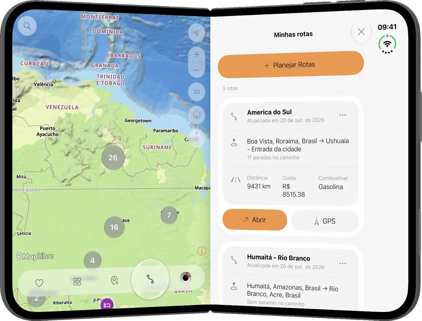
Plan the route, see the distance and pick the next stop before you leave.
From Roraima to Ushuaia, or a weekend close to home.
Dirt, forest and a stretch with no sign. Filter camping, water and fuel.
Whoever passed leaves the pin. The map belongs to people who actually travel.
Map
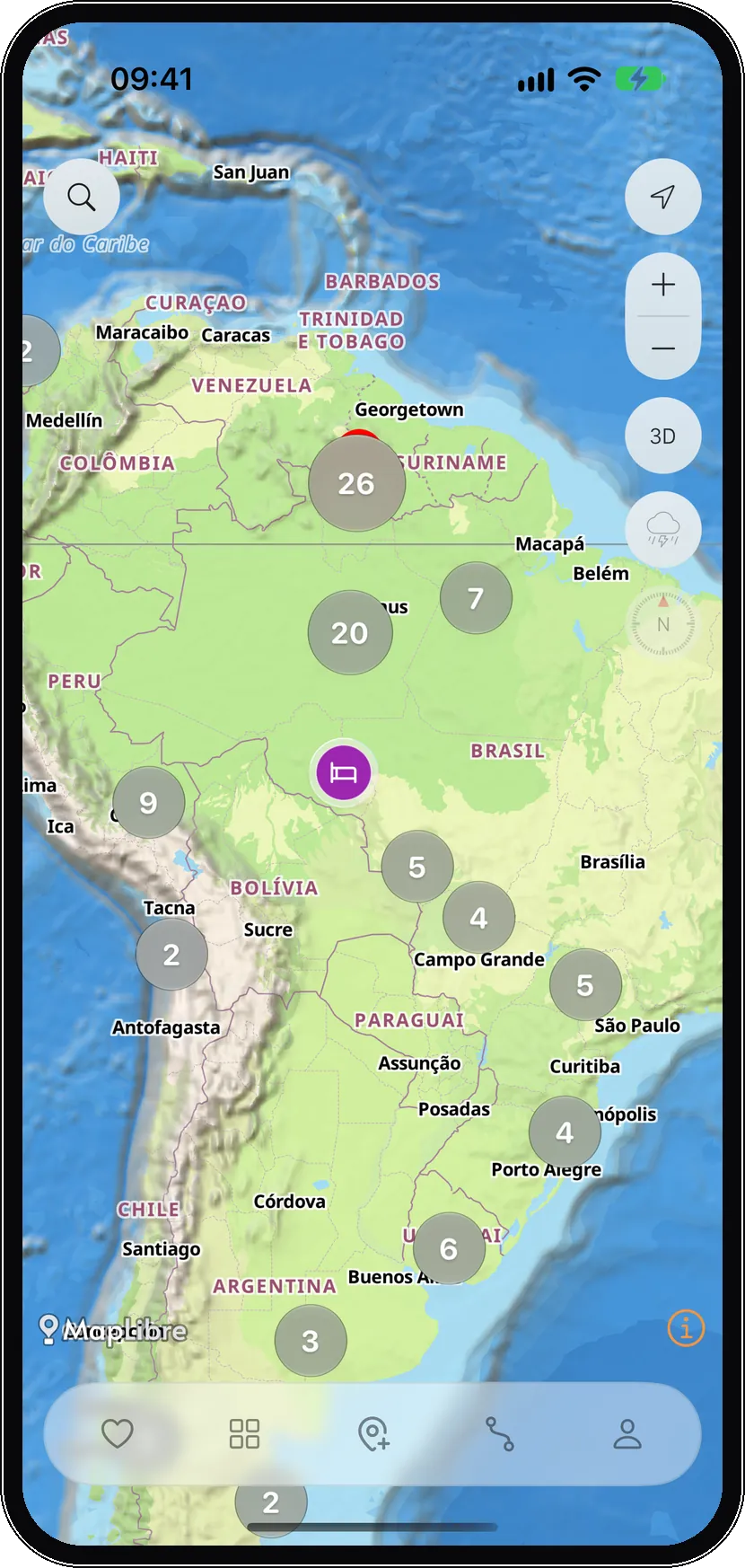
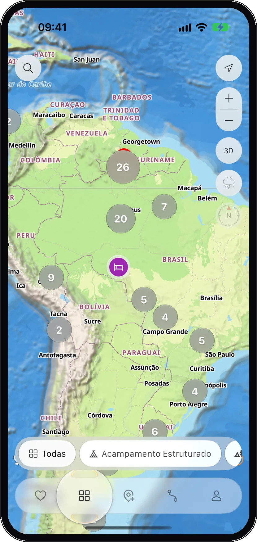
Pins from people who passed. Camping, water, fuel, mechanic, border. From the Caribbean to the south of the continent, clustered until you get close.
Terrain
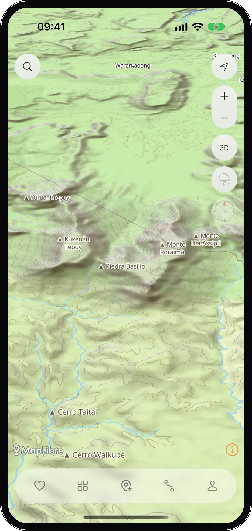
The terrain in 3D. Mount Roraima, tepuis, what the map line doesn't tell. You can see the climb before you're on it.
The place
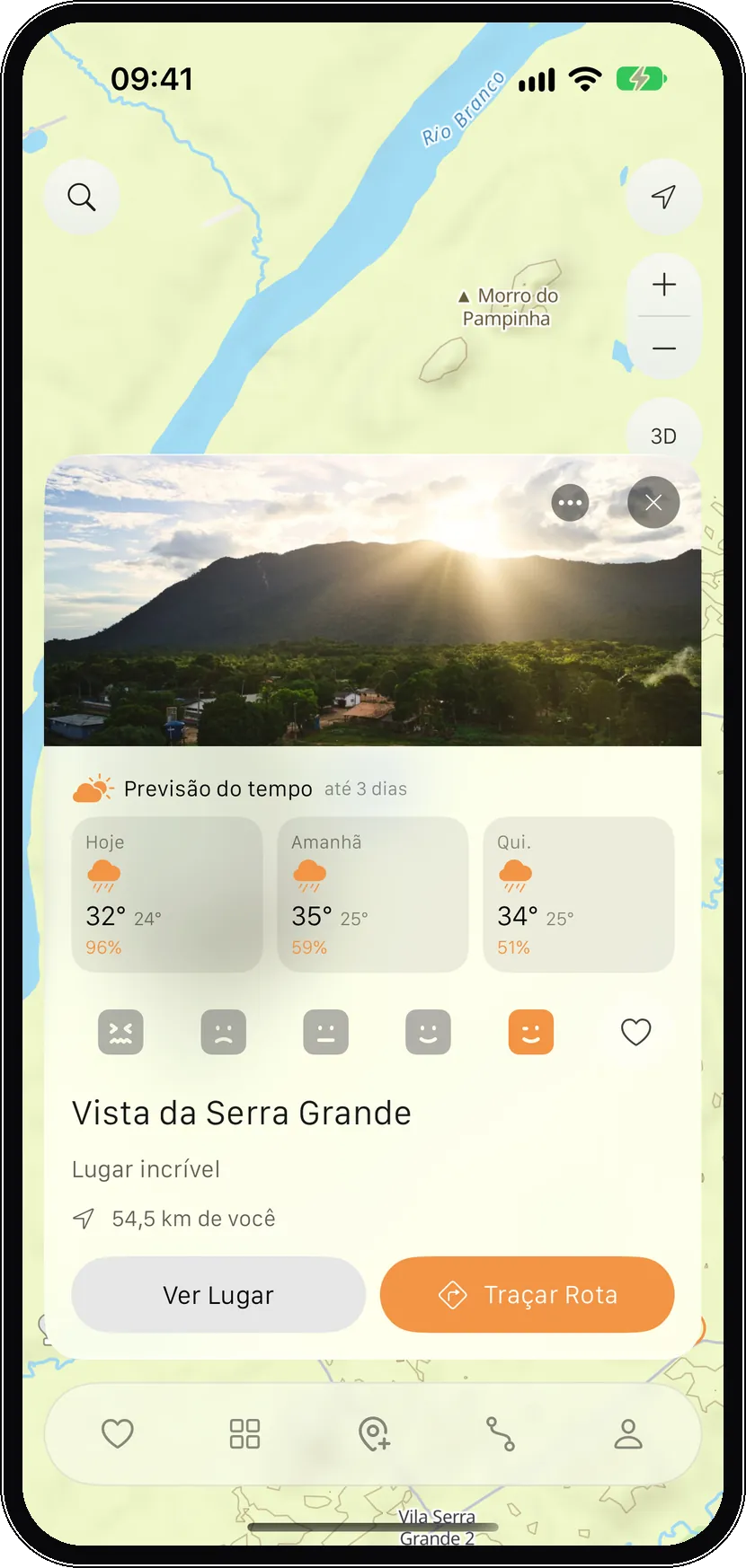
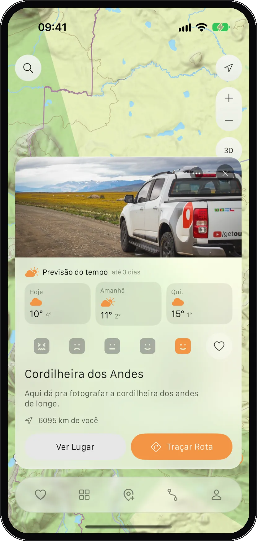
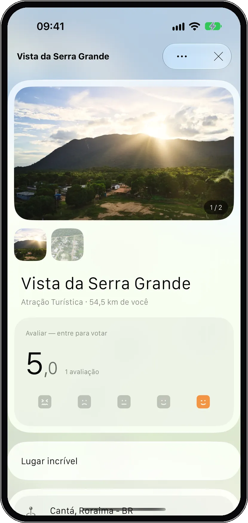
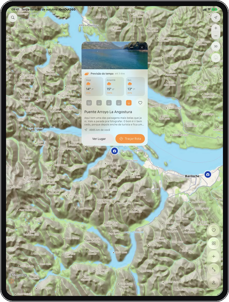
The card opens over the map. A three-day forecast, the distance and the button to plot the route. Serra Grande view today. The Andes when the trip goes far.
The card
Photo, distance and a note from someone who passed. Serra Grande view, 54 km away. One tap and the card opens over the map.
Filter
Camping, water, fuel, hotel, border, mechanic. The rest leaves the map until you ask for it back.
Weather
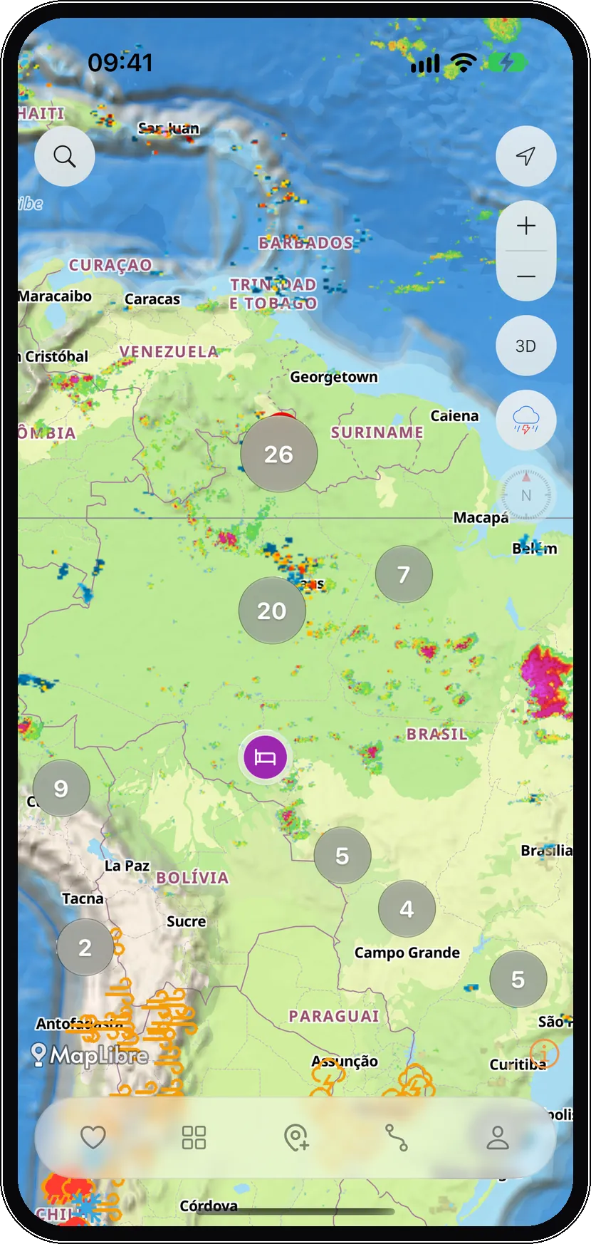
Radar over the map. Where it's raining, where lightning is coming, and a three-day forecast on the place card.
Route
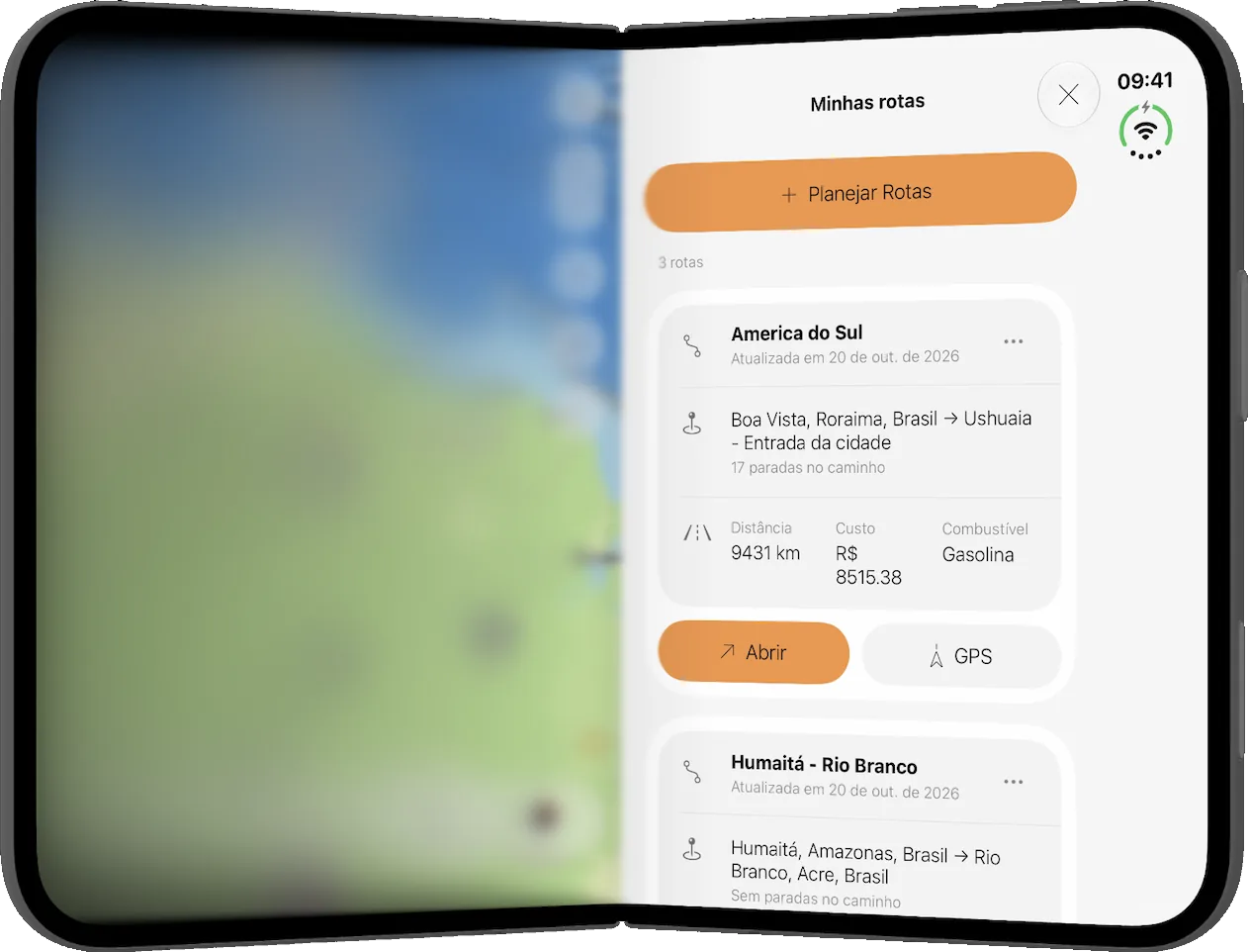
The saved trip, the kilometers and the fuel. Open, the map stays on one side and the route on the other.
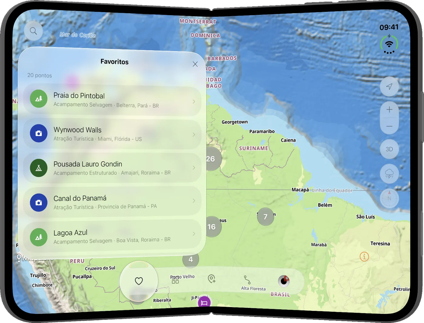
Favorites
Parque Anauá, the shop, the lagoon. Sorted by distance, with the map open beside them.
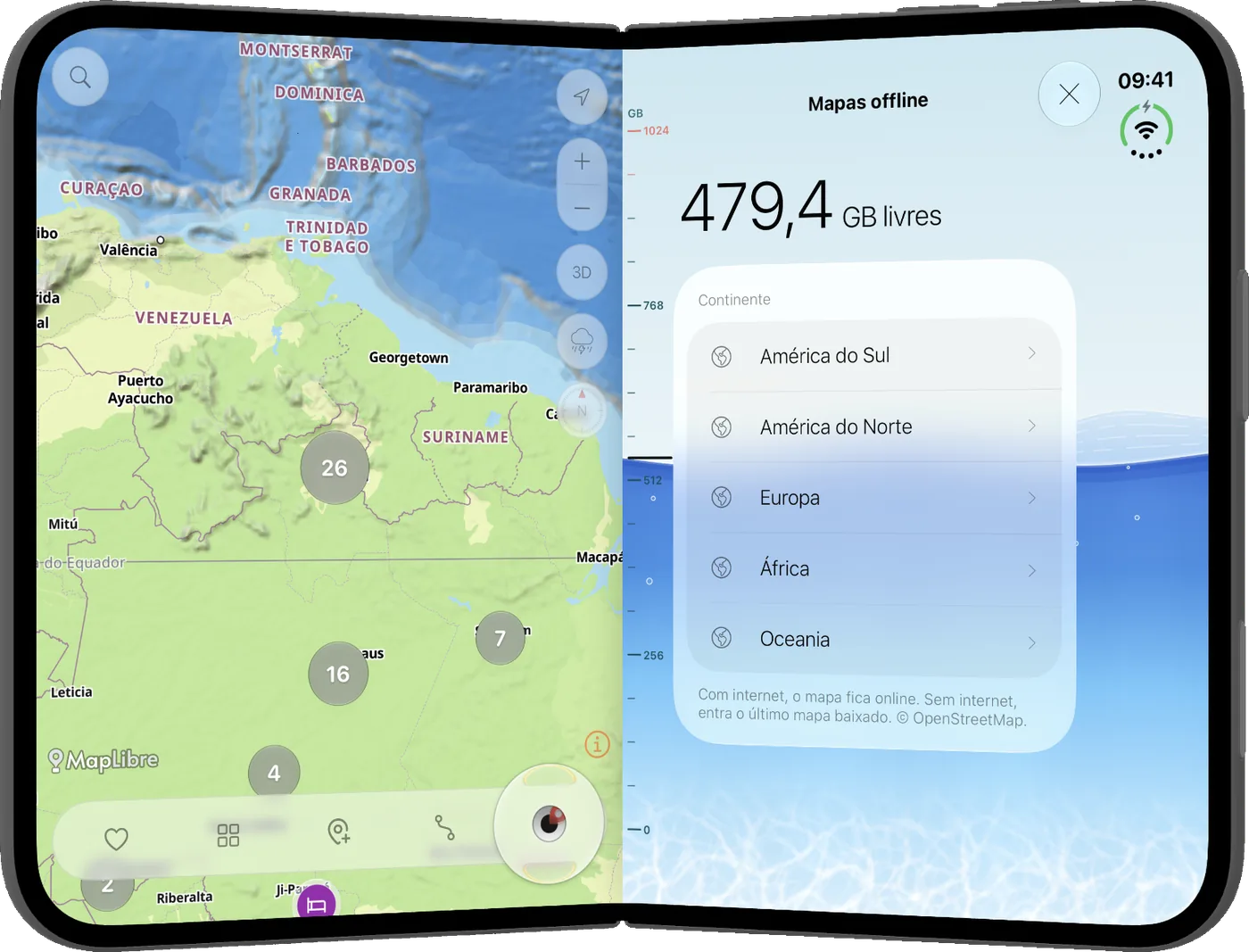
No signal
Download the continent. All of South America on the device. The road doesn't wait for Wi-Fi.
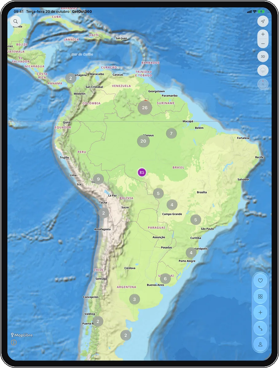
iPad
Map, terrain, the place and the weather. On iPad the card fits whole, without hiding the way.
App Store
Download GetOut360. Free.